Darchula District, located in Sudurpashchim Province, is one of the nine districts and Nepal's seventy-seven districts.
The district, which has its seat in Khalanga (Mahakali Municipality), spans 2,322 km2 (897 sq mi) and had 133,274 people in 2011. Darchula is located in the country's west-northwest corner.
Why Is It Called Darchula?
Darchula is formed by combining the terms "Dar" and "Chula". Dar means peak in Dotyali, and Chula means fire stove; therefore, a fire stove built of three stones (or peaks of 3 hills/mountains) is made of three stones.
Almost everyone in this area used to cook on a three-stone fire stove. There are also mountain summits that resemble a three-stone fire stove. According to tradition, sage Vyasa cooked his supper here on a three-peak fire stove.
History of Darchula District

After the collapse of the Katyuris and the fragmentation of the kingdom, Kumaon was divided into several tiny principalities, and this region came under one of the Katyuri principalities known as the Doti Kingdom, which Gorkha conquered in 1790 and constituted part of the Doti District until 1885.
It became part of the Baitadi District after 1885. Because Baitadi and Dadeldhura had the same "Bada-Hakim" (District Administrator), the two districts were merged to form the Baitadi-Dadeldhura district, which was renamed Mahakali after 1956.
Baitadi was divided into four counties (Thums) in 1956 and became a sub-district of the Mahakali district. Dadeldhura, Bitadi, and Chamba were the three sub-districts of Mahakali from 1956 to 1962. Chamba was elevated to district status in 1962 and renamed "Darchula District."
How Can You Reach Darchula District?
There are two ways to reach the Darchula district. They are:
- By Road
- By Air
By Road
Darchula is located on the Nepal-India border and can be reached by bus, taxi, jeep, or minibus. The roads are well developed, and the journey from Nepal to Darchula will be enjoyable.
By Air
Darchula is served by Darchula Airport, a few kilometres from Darchula city and links to towns in Nepal such as Kathmandu and Nepalgunj. Kathmandu is Nepal's main airport, with connections to many destinations worldwide.
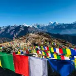
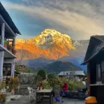
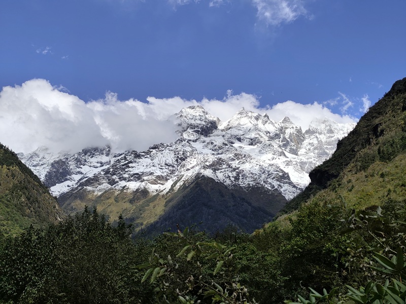
Tourism In Darchula District
Darchula is a Nepalese district and a mountainous town on the banks of the Kali River, surrounded by mountains. Darchula shares a border with India and an ancient path across the Himalayan Mountains, surrounded by beautiful vistas. The local population practices Hinduism and Buddhism and lives in peace.
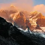
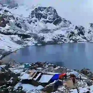
Places To Visit In Darchula District
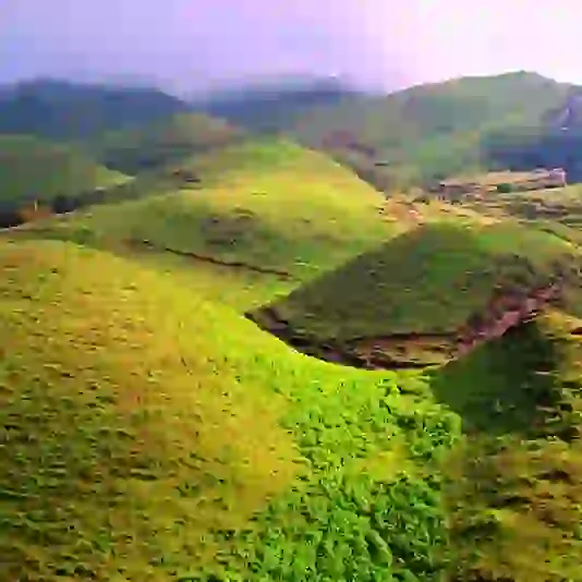
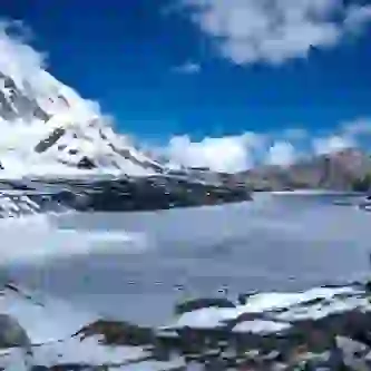
Nature and scenic views
- Kali River: A sacred river that forms the border between Nepal and India.
- Chirkila Dam: A dam on the Kali River that provides hydroelectric power.
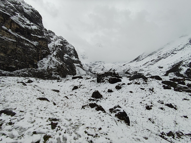
- Api Base Camp (South): A high-altitude camp that is a popular destination for trekkers.
- Dhap viewpoint: A viewpoint offering scenic perspectives of the surrounding hills.
- Kalidhunga taal: A lake located in the district.
Religious and cultural sites
- Narayan Ashram
- Shree Shailya Shikhar Malikarjun Temple
- Dadmeta Samaiji Temple
Trekking and adventure
- Adi Kailash trek
- Byans Valley
- Tawaghat
Jaulijibi
At the confluence of the Gori and Kali Rivers, Jauljibi is a small market on the India-Nepal border (Mahakali Zone). The name alludes to bazaars on both banks of the river, with the bazaar on the Nepalese side being smaller than the one on the Indian side.
For many years, a suspension bridge on the Kali has connected the bazaars and people of both nations. The town is well-known for its yearly trade fair, the Jauljibi Mela. Thousands of people travel from nearby villages and regions to attend the Mela.
Kali River
This river flows through Darchula, Nepal, and is named after the Goddess Kali. It originates from the Greater Himalayas at an elevation of 3,600 meters above sea level and is considered Nepal's holiest river.
Askot Sanctuary
This sanctuary is located 20 kilometres from Darchula in India's territory, on the Nepalese border, at an elevation of 5,412 feet above sea level. It is home to various flora and wildlife, including several rare bird and animal species.
Om Parvat
This is one of Hinduism's holiest sites, with thousands of worshippers flocking here each year to seek Lord Shiva's blessings. It is also known as Adi Kailash or Little Kailash. Devotees and visitors must pass through the Darchula area to reach this location.