Siraha District is one of Nepal's seventy-seven districts and is located in Province No. 2. It is situated in Nepal's Terai belt. The district, which has Siraha as its seat, has a total area of 1,188 km2 (459 sq mi).
According to the reports of the 2011 census, it has a population of 637,328 people. The Siraha district is bordered to the east by Saptari district, on the north by Udayapur district, on the south by the Bihar state of India, and on the west by Dhanusa district. The bulk of the people here are Yadavs, Tharus, Sahs, Muslims, and ethnic minorities, with the majority speaking Maithili and Nepali.
How can You Reach Siraha District?
The Mahendra Highway, which runs all across the district and connects all of the significant towns, provides excellent connectivity. Other rural communities are well connected by the Postal Highway, which is now being built and is fast taking shape.
Another important project, the East-West Railway, will run through this neighbourhood in the future and is now under construction.
Infrastructure of Siraha District
There are no airports in this district. However, the nearest airport is Rajbiraj Airport in adjacent Saptari, which is around 28–58 kilometres distant from various areas. Shree Airlines flies between Rajbiraj and Kathmandu on a regular basis.
Thadi in Siraha is a component of one of the mutual trade and customs routes agreed upon between India and Nepal. The Nepalese government has established a specialized customs office in the town, and the Indian government has set a Land Customs Station. As a result, basic import and export are permitted via this point.
Places to Visit in Siraha
Lahan
Lahan is a city and municipality in the Sagarmatha Zone of Nepal's south-eastern Siraha District. It is linked to Mahendra Route, commonly known as the east-west highway. It's around 350 kilometres (99.3 miles) east of Kathmandu, Nepal's capital.
Lahan is located at 26.717 latitudes and 86.483 longitudes. At 111 meters above sea level, it is the highest point in the area. It is in Nepali time, with a UTC offset of +05:45 hours.
Laukaha in India and Thadi, a neighbouring town 18 kilometres south of Lahan in Nepal, are both parts of an agreed-upon mutual trade route between India and Nepal. Thadi is connected to the rest of Nepal via Lahan.
Nepal is a country in Nepal. The Nepalese government has established a specialized customs office in the town, and the Indian government has set a Land Customs Station with a Superintendent level officer. So, in a nutshell, this site allows import and export.
Over a 20-year period, urbanisation has gradually expanded the population.
Hanuman Nagar
Hanuman Nagar is a VDC (village development committee) in the Sagarmatha Zone of Nepal's south-eastern district of Siraha. Nepal had 4892 people living in 918 households when the census was taken in 1991.
Lagadigoth
Lagadigoth is a village development committee in the Siraha District of Nepal's Sagarmatha Zone. Nepal had a population of 2799 people living in 482 households at the time of the 1991 census.
Sarswar
Sarshwar is a village development committee in the Siraha District of Nepal's Sagarmatha Zone. Nepal had a population of 4839 people living in 939 households at the time of the 1991 census.
Sahalesh Garden
The Sahalesh Garden is a historically significant location in this region. This location is located in Sisbani VDC and is 1.44502614 hectares in size. This location is well-known among the Dushad and Danuwar communities. Haaraam is the name of a tree that grows in the midst of this garden.
This tree's outstanding feature is that its flower only blooms on the first day of the year. Near the tree is a shrine dedicated to King Sahalesh and Maalini.
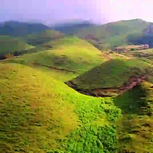
Siraha District has a variety of tourist attractions. Baba Tal Park, Baba Lake, and others are among the most well-known.
Interesting Facts about Siraha District
The largest city, Lahan, is known for the Sagarmatha Chaudhary Eye Hospital. It is located on the Mahendra Highway.
Thadi or Thadi Viswaspatti is the district's primary entrance point from India and an ancient Nepalese border town and market centre in Siraha District, which borders the Indian village of Laukaha.
Thadi is one of the few places in India and Nepal that is part of an agreed-upon mutual trade route. In the town, the Nepalese government has established a specialized customs office. The settlement serves as a link between Lahan and India.